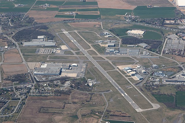
File:Hagerstown Regional Airport (aerial photo).jpg
Jump to navigation
Jump to search


Size of this preview: 800 × 533 pixels. Other resolutions: 320 × 213 pixels | 640 × 427 pixels | 1,024 × 683 pixels | 1,280 × 853 pixels | 2,560 × 1,707 pixels | 6,960 × 4,640 pixels.
Original file (6,960 × 4,640 pixels, file size: 12.82 MB, MIME type: image/jpeg)
.jpg)
File history
Click on a date/time to view the file as it appeared at that time.
| Date/Time | Thumbnail | Dimensions | User | Comment | |
|---|---|---|---|---|---|
| current | 00:38, 1 April 2023 | | 6,960 × 4,640 (12.82 MB) | wikimediacommons>Remper | Uploaded own work with UploadWizard |
File usage
The following 4 pages use this file:
.jpg)